Invercargill
- Apr 10
- 4 min read
From April 7 - 11, 2026 we were in Invercargill. Invercargill is the fourth largest city on the South Island and has about 58,000 inhabitants. Everyone we asked about it said we shouldn't stay more than 1 night because there's nothing to do here. We are staying four nights and I hope I will get a good rest as I am exhausted.
In summary: we enjoyed Invercargill and were busy each day - no rest for the wicked - but probably won't come back again. Hiking: 7/10, Food: 6/10, Accommodation: 5/10.
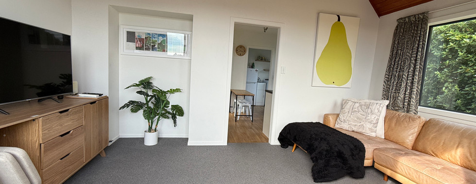
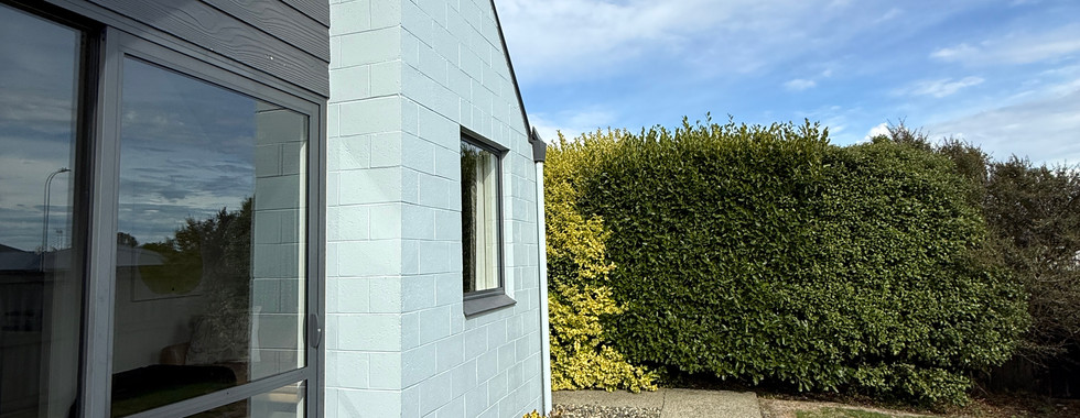
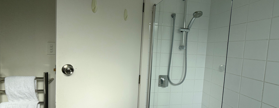
Our AirBnB is on Anne Street, so easy to remember. It is along the same lines as the last place, but a bit more run down.


We decided to take the scenic route to Invercargill and drive via the "Southern Scenic Route" which has a website and interactive map. I am not making this up and here is a photo of the map and website.


Amongst the biggest attractions were:
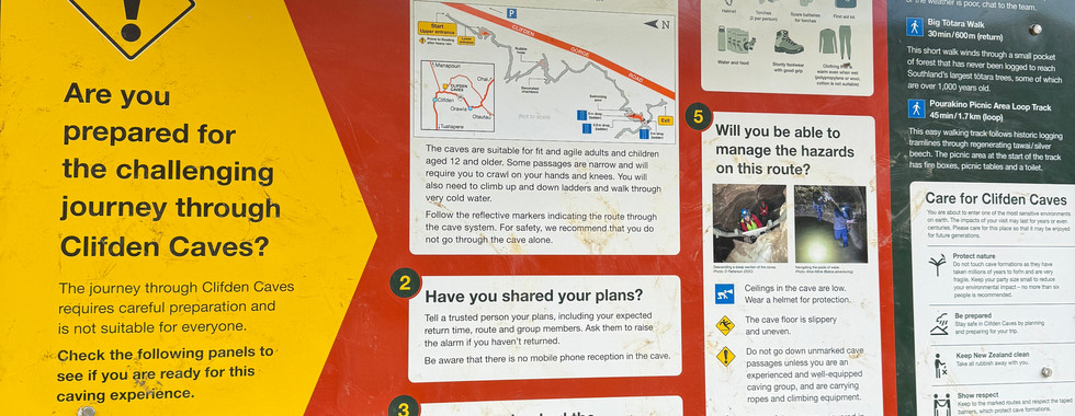
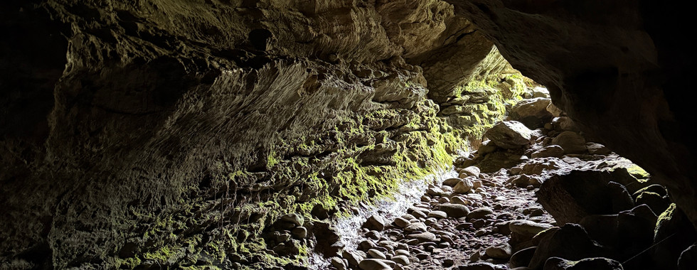
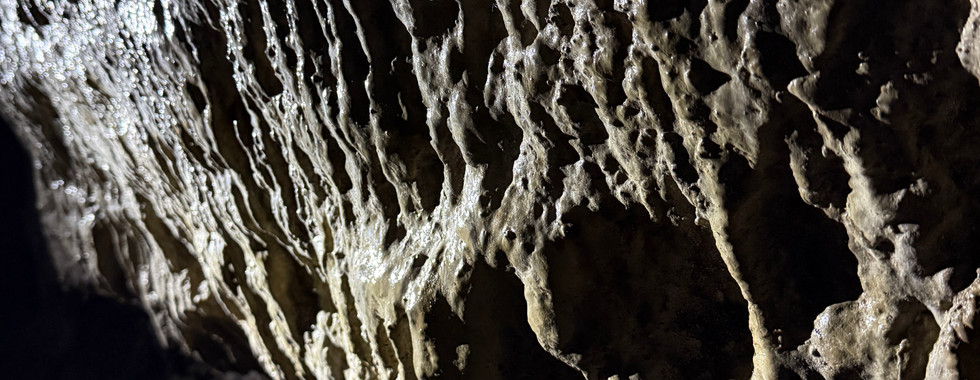
The Clifden Caves. This was a pretty extensive cave where Maori and later whites would shelter before crossing the river. It was very slippery and wet. We experimented by turning off our lights and it was very dark, even though we were only about 25 feet from the entrance. We didn't go in very far because we didn't have any hard hats and Chris hit his head twice.


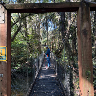
Next was the Clifden Suspension Bridge, constructed in 1898 to aid crossing the Waiau River by the sheep stations. Before the bridge, they had to punt across the river which was quite dangerous when the river had a lot of water.


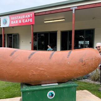
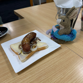
Next was Tuatapere, the sausage capital. We had one of the famous sausages which was mediocre.


We stopped at McCracken's rest for views of the Solander Islands which weren't visible


and now start to realize that this entire route is a PR stunt by some over-achieving marketing department. Our next stop was something we were both really looking forward to - Gemstone Beach. We were expecting semi-precious gems littering the beach. This is what we found - nothing.


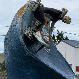
We skipped the next few "attractions", but did snap a photo of the creepy surfer statue.

It was a relief to get to Invercargill.
We noticed that Invercargill has quite a few restaurants that sell fish and chips and chinese food.


Here is a map to give a context for where we went this week near Invercargill. The arrow on the right is pointing to Slope Point. The arrow on the left is pointing to Bluff and Stirling Point. The lowest arrow points to Stewart Island and our next stop (focus of the next post).

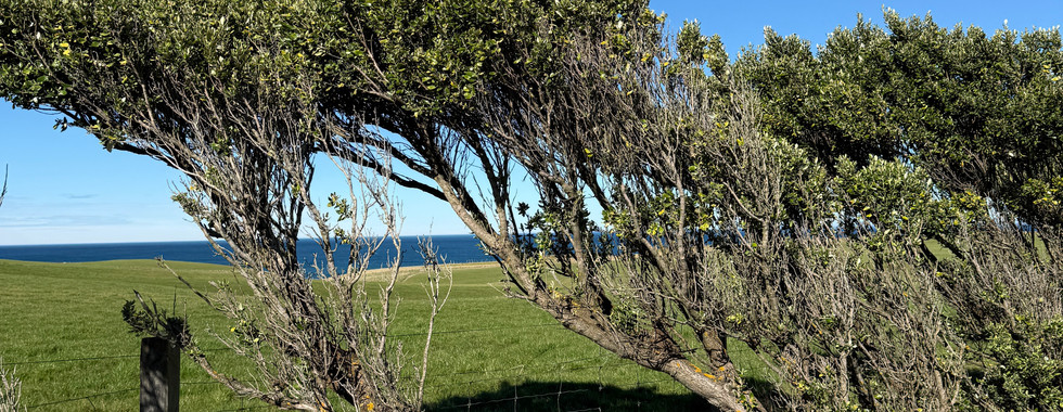
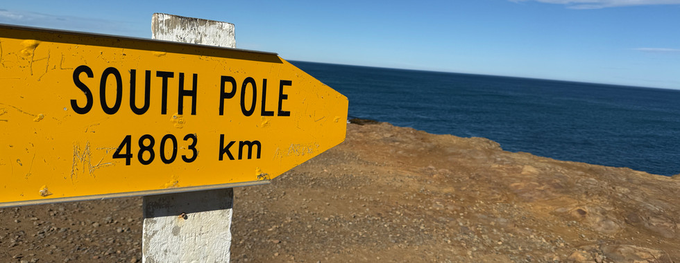
April 8. The weather was not great today, but we decided to chance it to go to Slope Point which is billed as the windiest place on earth. It is also the most Southern place in New Zealand - 5140 km (about 3,000 miles) from the Equator and 4803 km (about 3000 miles from the S. Pole. The trees don't look particularly wind sculpted, but they are definitely bent and they have no foliage on their windward side.


Then we decided to go on a "short, easy" hike to see the Waipohatu waterfalls in Catlins Forest Park. HaHa. This was rather short - about 4 miles - but was moderate + due to the undulating track which added up to over 1600 feet of elevation gain (twice what was in the map), extreme mud and the poor condition of the track. These photos don't capture the level of suckiness.


Add to that Chris deciding we had to cross the river to see the falls better.


We did get back without injury, other than another sandfly bite. Another positive note was finally identifying a bird call using Merlin and confirming it was a Bell Bird. Their call is beautiful and they are vanishing.

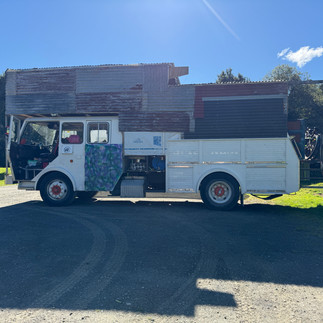
There was this very bizarre caravan bus in the parking lot. They looked like preppers.

We returned via Waipapa Point to see the light house and mating sea lions.


April 9. Today's activity was to see the motorcycle featured in "The World's Fastest Indian". If you haven't seen this picture, I highly recommend it - even for those not interested in motorcycles. It is about Burt Munro, a man from Invercargill, who spent years rebuilding a 1920 Indian motorcycle and setting the land's speed world record. His motorcycle (and many others) and other memorabilia now reside at a wonderful hardware store in Invercargill and it was within walking distance for us.


On the way back we walked through Queen's garden, a lovely area with formal gardens.


Then we raced home before the rain hit.
April 10 - Bluff. Bluff didn't have a lot to recommend it, other than a run down main street, a the "Southern Most Fish and Chip Shop" (no, we didn't)


and the ferry terminal to Stewart Island - the topic of the next post. We did have a really nice 3.3 mile walk with 1000 foot elevation gain up to the Bluff Lookout which started from Stirling Point.


Getting to Stirling Point and Bluff Hill was a happy accident. Stirling Point is known for it's sign with distances to major cities around the world.


It is on the ocean and we had beautiful weather, so the views were amazing. This is from the top of Bluff Hill.

The walk up was steep, but a really nice trail through the forest where we heard Tui and Bell Birds. I was amazed when Merlin worked again to help identify the calls. The walk went by gun emplacements from WW2.


More views from the top. There was even a Rabbit Island on the map.


and we even saw Stewart Island where we are going tomorrow (that's my finger pointing to the Island. Next post is in about 4 days time.


Comments